Local Bike Routes
The following are a handful of bike routes that we gathered from Xavier University professor, Kathleen Smythe's, Bicycling Through Paradise. The routes included are paths that you will find on and/or around the campus.
"Floodplains and Hilltops"
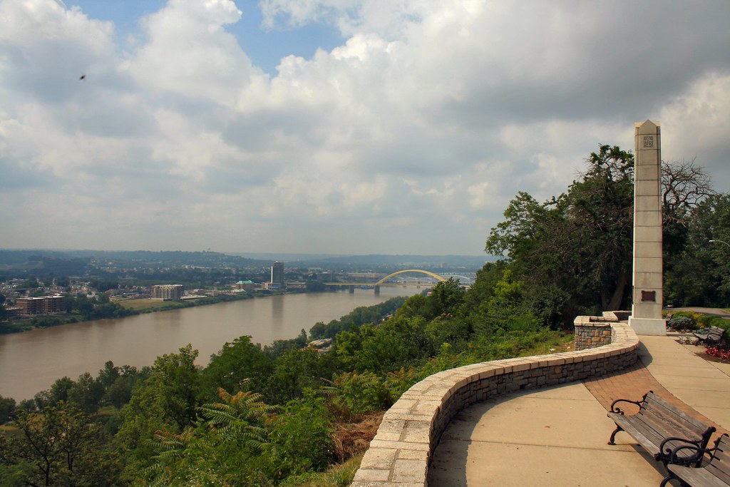
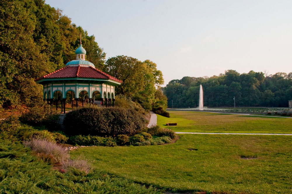
A ride that moves from the wide, open Ohio River floodplain around Lunken Airport. Here, you'll find flat meadows, big sky, and river-fed greenery, up into Cincinnati's wooded hills and park ridges, where you pass overlooks, forested slopes, and the landscaped grounds of Eden Park, Ault Park, and the Cincinnati Observatory. The contrast between the calm, expansive lowlands and the breezy, elevated hilltops gives the route a mix of serene river scenery and sweeping views over the valley.
"A Holy City: Churches, Synagogues, and Shrines"
Follow a route that threads through Nothern Kentucky, Downtown Cincinnati, Walnut Hills, and Evanston, highlighting how densely the region's religious architecture is woven into its neighborhoods. The scenery shifts as you ride: in Convington and downtown you move past prominent historic churches and urban streetscapes; climbing into Walnut Hills, the landscape becomes more residential and tree-lined, with older seminaries and synagogues tucked among hills; and by the time you reach Evanston, the route passes quieter blocks anchored by long-standing parish churches and community shrines. The overall feel is a blend of urban energy, hillside neighborhoods, and areas of calm around these religious landmarks, giving the ride a sense of moving through a layered spiritual geography.


"Crosstown Missions"
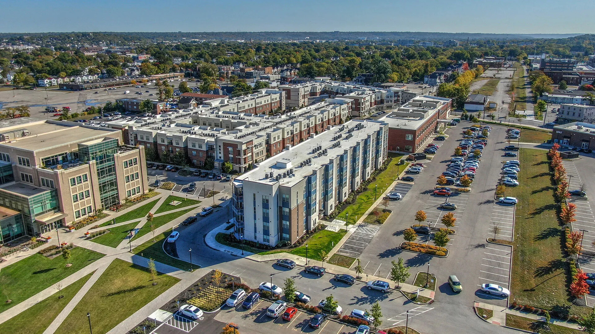
Cut across Cincinnati's varied neighborhood's, and the scenery reflects that sense of moving through several distinct worlds in a single ride. It carries you past the University of Cincinnati's dense, urban campus core, where modern academic buildings sit beside older brick halls and tree-lined quads. As you continue east, the landscape shifts toward the quieter, more traditional grounds of Xavier University, with its open lawns, collegiate Gothic architecture, and a calmer residential feel surrounding the campus. Father along, the ride reaches the hilltop setting of Hebrew Union College, where the seminary's historic buildings and mature trees create a contemplative atmosphere overlooking the surrounding neighborhoods. These academic landmarks emphasize the ride's mix of urban streets, wooded slopes, and residential areas, giving the route a sense of moving through the intellectual and cultural spine of Cincinnati.


"Industry, Rust Belt, and Redevelopment"
This route takes you through Norwood, Oakley, and Madisonville, where the scenery shifts between remnants of Cincinnati's industrial past and the newer redevelopment shaping these neighborhoods today. You ride past old factory buildings, railways, and brick warehouses that speak to this area's manufacturing history, then move into stretches of revitalized districts with renovated mills, mixed-use developments, and growing commercial centers. Tree-lined residential streets and pockets of green space soften the transitions, giving the ride a blend of gritty industrial texture and emerging urban renewal. The overall feel is a cross-section of Cincinnati's economic story, where aging industrial landscapes sit beside signs of reinvestment and changing community identity.